
The Inside on the Outside
The Big Picture WPC
Hawaii is about to be bracketed by two tropical systems inside the same 48 hours — one pulling away and weakening, one closing in and strengthening. On the mainland, the pattern splits its energy: a stubborn frontal boundary keeps wringing repeat rounds of heavy rain from Virginia into the Carolinas, a second batch of storms fires from the central Plains into the Midwest and Southeast with large hail and damaging gusts, and underneath all of it a stalled upper ridge keeps a dangerous heat dome locked over the south-central states and Southwest, with numerous daily record highs in play. The Atlantic, meanwhile, is doing something unusual for late August: staying quiet.

Lead Story: Hawaii, Bookended NHC/CPHC
Hurricane Lala Pulls Away — Tropical Depression Two-C Closes In FLOOD THREAT BUILDING
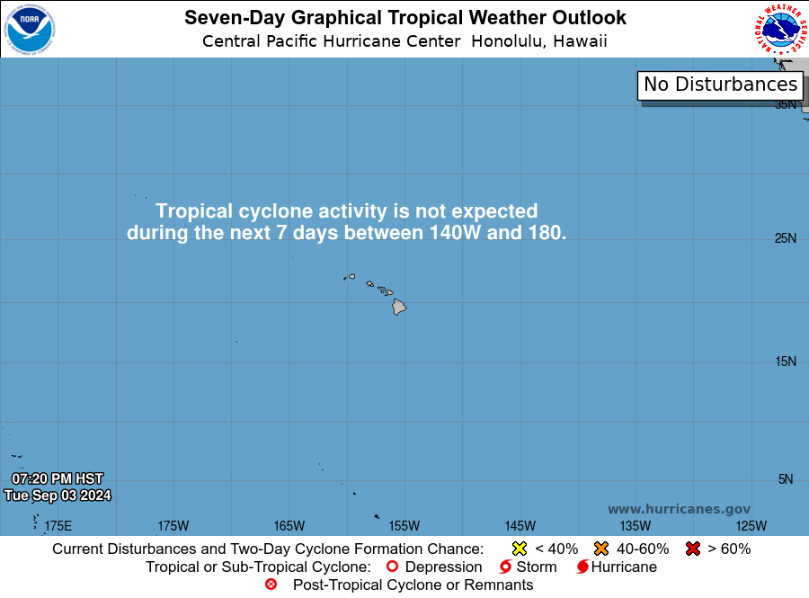
Lala is a hurricane right now — 100 mph winds, moving north-northeast away from the uninhabited Papahanaumokuakea Marine National Monument, where a Hurricane Warning remains up. The storm briefly reintensified back to Category 2 strength overnight after an earlier weakening trend, but the trajectory from here is down: gradual weakening is expected through early next week as Lala tracks farther from any populated islands. A Tropical Storm Warning also remains posted for the eastern end of the monument chain. No watches or warnings cover the main Hawaiian Islands from Lala.
Two-C is the one worth watching. Currently a tropical depression about 780 miles southeast of Hilo with 35 mph winds, it’s forecast to become a tropical storm later today and keep strengthening — up to 50 mph winds — as it tracks west-northwest toward the islands. The center is expected to pass south of the Big Island this weekend, then near the smaller main islands early next week. The rainfall forecast is the headline: 5 to 10 inches general, isolated amounts to 15 inches, across the Big Island, with lighter but still notable totals on windward Maui. NWS is already using the phrase “life-threatening flooding and mudslides,” and flagging that some of the same terrain took a hit from Lala recently, which raises the risk for burn-scar-style runoff even without fire involved. Large swells from Two-C will also bring dangerous surf and rip currents to the islands this weekend.

Trouble Spots
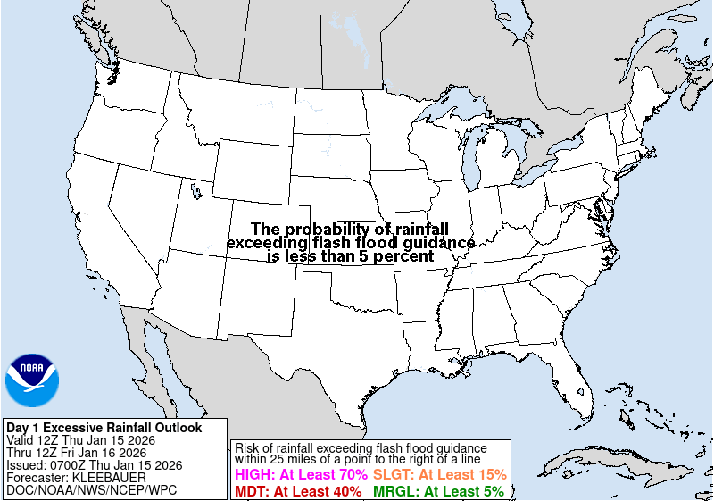
Excessive Rainfall — Virginia into the Carolinas SLIGHT RISK
A quasi-stationary front sitting across the southern Mid-Atlantic keeps feeding storms over the same corridor. Forecasters describe a solid band of 2-to-4-inch totals from central North Carolina into adjacent north-central South Carolina, with isolated amounts topping 6 inches — enough that they specifically kept the “high-end” version of Slight Risk wording rather than easing off it (see The Inside). The atmosphere overhead is about as saturated as it gets for this time of year, and the greatest risk is in and around the Sandhills and the more urbanized I-95 corridor to the east.
Severe Storms — Central Plains, Midwest & Carolinas SLIGHT RISK
Two separate setups today. From South Dakota into Nebraska, steep atmospheric instability (3,000-4,000 J/kg) and strong wind shear favor early supercells with a real threat of very large hail — some stones over 2 inches in diameter — before clusters consolidate and push southeast overnight with severe gusts up to 70-80 mph possible. Separately, a warm, humid airmass over the Carolinas and southern Appalachians supports scattered-to-numerous storms capable of damaging wind gusts and a bit of hail through this evening.
Dangerous Heat — South-Central U.S. & Southwest MAJOR-EXTREME HEATRISK
A parked upper ridge keeps the heat dome locked in place through the weekend and into next week. Daytime highs of 100-110°F are expected across the Southern Plains into the Southwest, with little overnight relief — minimum temperatures staying warm enough, combined with high humidity, to push heat indices to 105-115°F. Numerous daily record highs are possible. Check on neighbors and anyone without reliable air conditioning; overnight lows that don’t drop are the part of a heat wave that does the most damage (see The Inside).

The Tropics — Three Basins NHC / CPHC
Central Pacific: Busy (See Lead Story)
Hurricane Lala and Tropical Depression Two-C both sit in this basin right now — one weakening and pulling north, one strengthening and pushing toward the islands. Full details above.
East Pacific: Two Candidates, No Names Yet
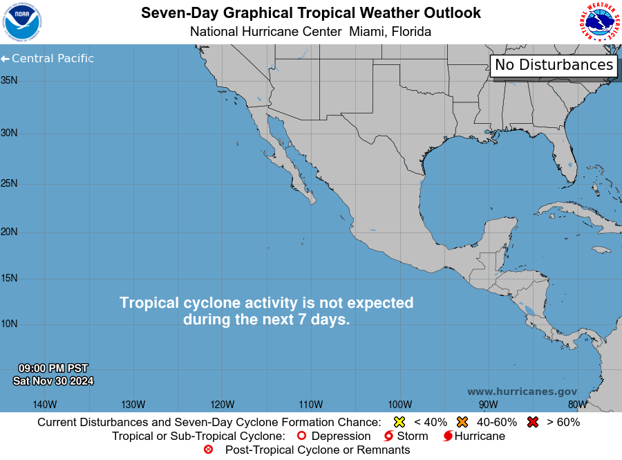
Nothing organized yet, but two areas bear watching. A broad area of low pressure a few hundred miles south of the Mexican coast has a low (20 percent) chance of development in the next two days but a medium (60 percent) chance over seven, drifting northwest and staying offshore. Closer to Baja California, a second disturbance carries better odds — medium (60 percent) through 48 hours, high (80 percent) through seven days — as it moves west-northwest to northwest. Both, if they organize, would stay over open water through the outlook period.
Atlantic: As Quiet as the Bulletin Allows
Two weak, low-odds features and nothing more. A non-tropical low near the Azores could pick up some subtropical characteristics as it heads toward Portugal (20 percent/20 percent), and a weak low southeast of Bermuda has only a slim chance of slow development while it drifts west-southwest (10 percent/20 percent). In the thick of peak Atlantic season, a bulletin this short is itself the story — a quiet basin while the Pacific runs its assembly line.

The Inside what the discussions actually say
The reasoning behind the forecast, pulled from the technical discussions forecasters write for each other.
Forecasters grade the models, and this week the European model is winning. Climate Prediction Center’s 6-10 day outlook doesn’t just average its guidance — the discussion explicitly says the manual forecast “blend” leans on the ECMWF ensemble mean more heavily than the American and Canadian models “due to recent model skill.” That’s forecasters keeping a running scorecard on which model has been performing best lately and adjusting how much they trust it, week to week. It’s a small admission that reveals a lot about how a “forecast” actually gets made.
“High-end Slight” is a deliberate choice, not a hedge. WPC’s excessive rainfall team looked at the latest model runs for Virginia into the Carolinas, found them consistent with the previous cycle, and chose to keep the risk area at the upper end of Slight Risk rather than bump it to Moderate. That’s a judgment call about where the line sits between “notable flooding” and “the next category up” — and it means forecasters see this as close enough to Moderate that another cycle of consistent, wetter guidance could tip it there.
Overnight heat is the quiet killer. WPC’s extended discussion specifically calls out “record-breaking warm overnight temperatures” across the southern tier, warning that they’ll “further limit recovery from the heat.” The body needs cooler nights to recover from hot days; when lows stay elevated night after night, heat stress compounds instead of resetting, which is exactly why forecasters track overnight minimums as closely as afternoon highs during a prolonged heat wave.
A hurricane’s strength can wobble even while its trend is clear. Lala’s advisory notes it’s “temporarily back to Category 2 strength” after an earlier weakening trend — a reminder that intensity estimates aren’t a smooth line on a graph. Storms can briefly restrengthen due to small internal fluctuations even as the broader environment (cooler water, increasing wind shear) points toward continued weakening. Forecasters flag the wobble specifically so it isn’t mistaken for a change in the overall trend.
Looking Ahead CPC · current issuance
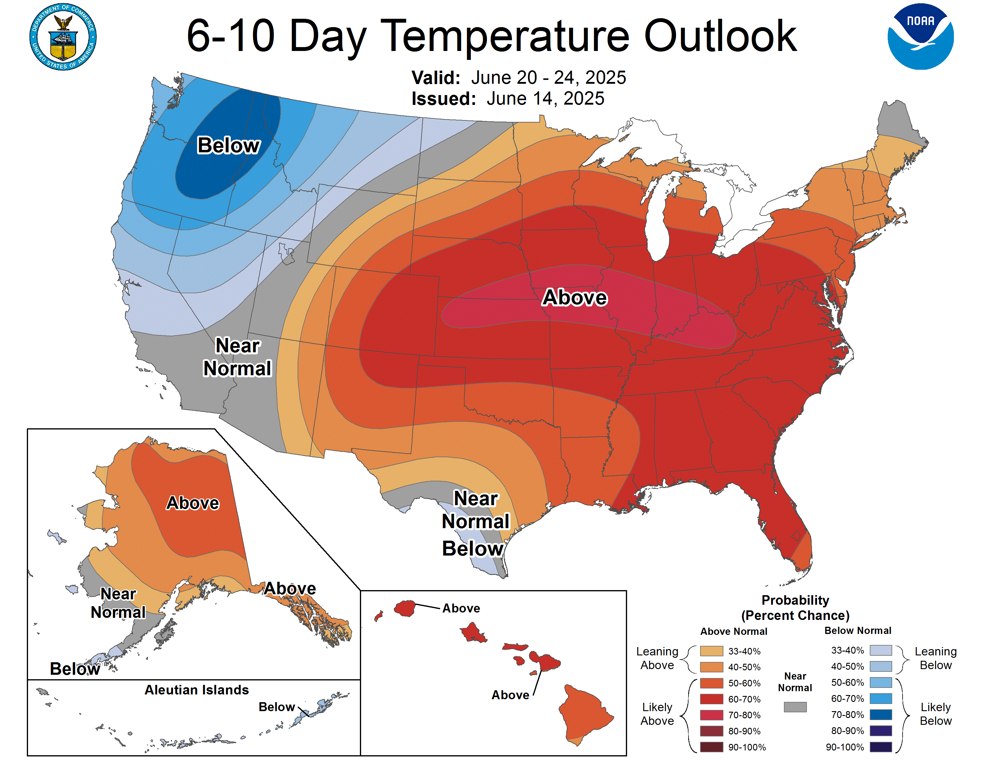
For August 26-30: above-normal temperatures are favored across most of the West (outside the Northern California and Pacific Northwest coasts), the central and southeastern U.S., and Hawaii, with confidence exceeding 80 percent in parts of the Southwest and southern Texas. The Great Lakes region and northern New York and Vermont lean toward near-to-below-normal temperatures under a weak trough. Precipitation signals are weaker and more scattered across the Lower 48 this cycle, with the clearest above-normal precipitation signal well north, across much of mainland Alaska.
Also Watching
- Space Weather: An M8.1 flare — moderate-strength but the period’s strongest — erupted Thursday from an active sunspot region, with a radio sweep suggesting a coronal mass ejection, though analysis shows no Earth-directed component. Separately, a waning coronal hole high-speed stream is expected to push the geomagnetic field to “active” levels (a step below storm level) into Saturday — worth a glance north after dark at high latitudes, but not a confirmed aurora event for the northern-tier states. SWPC · flagged, see ledger
- Fire Weather: A Critical fire-weather area is posted for tomorrow (Saturday) across northeast California, northwest Nevada, and south-central/southeast Oregon, where 20-25 mph winds and around 15 percent humidity will overlap dry fuels. Isolated dry-lightning ignitions are also possible farther north across the Intermountain West and northern Rockies as high-based storms move through.
- Marine: Two Gale Warnings are up over the open North Atlantic — one north of 60N near Greenland, one father south and east near 60N/40W — with seas to 4 meters and dense fog reducing visibility to under a mile in several zones. No U.S. coastal impact; this is ship-track territory.
- Drought Monitor: Weekly product, most recently updated Thursday with data valid August 18; the next national map and full write-up lands here next Thursday.
Look Up Tonight
The Moon is Waxing Gibbous tonight — about 61 percent illuminated, 9 days into the lunar cycle — climbing toward the Sturgeon Moon, the month’s Full Moon, on Friday, August 28. That one comes with a bonus: a partial lunar eclipse deep enough to bathe roughly 93 percent of the lunar disk in shadow, visible from North and South America.
One Cool Thing
The Moon reaches apogee — its farthest point from Earth this orbit — on Saturday, just six days before it turns full. That timing means next Friday’s Sturgeon Moon will appear a touch smaller than an average full moon, the opposite of a “supermoon.” Distant or not, it’ll still be dramatic: the deep partial eclipse that night darkens nearly the entire lunar disk, close enough to totality that skywatchers across the Americas should notice the Moon take on a reddish cast even without it being a full “Blood Moon.”
Shareables
For Newsrooms & Reporters
Need a Meteorologist On Air or On the Record Today?
Bob Cox — veteran broadcast meteorologist heard mornings on WTIC NewsTalk 1080 (Hartford) and forensic meteorologist with 30+ years analyzing high-impact weather — tracks these stories in real time and is available for interviews and expert comment: radio, TV, print, podcast, fast turnaround.
Today’s interview-ready angles: Hawaii bracketed by two tropical systems in 48 hours · why forecasters “grade” competing weather models and how that shapes a forecast · the no-overnight-relief heat pattern gripping the south-central U.S. and Southwest · the Central Plains hail/wind threat and the Virginia-to-Carolinas repeat-round flood risk.
BOOKING: kaitlin@coxweatherservices.com · 888-248-9347 · coxweatherservices.com · attribution: “Bob Cox, meteorologist, Cox Weather Services”
Source Ledger every claim, timed & sourced
Every forecast in this issue traces back to a named NWS/NOAA product below. Status shows how fresh each source was at publication.
| Product | Issued | Status |
|---|---|---|
| WPC Short-Range Forecast Discussion | 2:33 AM EDT Fri Aug 21 | CURRENT |
| WPC Extended (Day 3-7) Forecast Discussion | 3:07 AM EDT Fri Aug 21 | CURRENT |
| WPC Excessive Rainfall Discussion | 4:24 AM EDT Fri Aug 21 | CURRENT |
| SPC Day 1 Convective Outlook (Corr. 1) | 2:46 AM EDT Fri Aug 21 | CURRENT |
| SPC Day 2 Convective Outlook | 1:48 AM EDT Fri Aug 21 | CURRENT ISSUANCE |
| SPC Day 3 Convective Outlook | 3:31 AM EDT Fri Aug 21 | CURRENT ISSUANCE |
| SPC Day 1 Fire Weather Outlook | 2:58 AM EDT Fri Aug 21 | CURRENT |
| SPC Day 2 Fire Weather Outlook | 3:01 AM EDT Fri Aug 21 | CURRENT ISSUANCE |
| NHC Atlantic Tropical Weather Outlook | 2:00 AM EDT Fri Aug 21 | CURRENT |
| NHC East Pacific Tropical Weather Outlook | 2:00 AM EDT Fri Aug 21 | CURRENT |
| CPHC Central Pacific Tropical Weather Outlook | ~1:31 AM EDT Fri Aug 21 | CURRENT |
| Hurricane Lala Public Advisory No. 36 | 5:00 AM EDT Fri Aug 21 | CURRENT |
| Tropical Depression Two-C Public Advisory No. 4 | 5:00 AM EDT Fri Aug 21 | CURRENT |
| CPC 6-10 / 8-14 Day Prognostic Discussion | 3:00 PM EDT Thu Aug 20 | CURRENT ISSUANCE · daily product; next ~3 PM today |
| SWPC Space Weather Forecast Discussion | 8:30 PM EDT Thu Aug 20 (0030 UTC) | FLAGGED · ~9h54m old at fetch, exceeds 8-hr gate; 1230Z cycle not yet posted |
| OPC High Seas Forecast (N Atlantic) | 6:30 AM EDT Fri Aug 21 | CURRENT |
| US Drought Monitor National Summary + Map | Released Thu Aug 20 (data valid Aug 18) | CURRENT ISSUANCE · weekly product; next Thursday |