
The Inside on the Outside
The Big Picture WPC
Hawaii is doing double duty this weekend — one storm exiting, one arriving — while the mainland splits into three separate weather stories that barely acknowledge each other. A slow-moving front is wringing out slight-risk severe storms and heavy rain from the Ohio Valley into the Mid-Atlantic, a punishing heat dome keeps building across the south-central states and Desert Southwest with no real relief in sight, and out in the Pacific, Hurricane Lala is weakening as she pulls away to the northwest while Tropical Storm Moke — a storm that only earned its name overnight — closes in on the Big Island with a serious flood threat. Nothing here is record-shattering on its own, but together it’s a full slate.

Lead Story: Moke & Lala NHC / CPHC
Tropical Storm Moke — Closing In On the Big Island LIFE-THREATENING FLOODING
Moke spent its first several advisories going by the bureaucratic name Two-C before earning a name overnight as it organized into a tropical storm. Now packing 45 mph winds about 545 miles southeast of Hilo, Moke is forecast to strengthen slightly further before gradually weakening as it tracks west-northwest, passing south of the Big Island this weekend and south of the smaller islands early next week. No coastal watches or warnings are up yet — the core is expected to stay just offshore — but the rain forecast alone earns the life-threatening tag: 5 to 10 inches generally, with isolated totals to 15 inches on the windward and southeast Big Island, in terrain already softened by Lala’s rain last week. Interests across the island chain should be watching closely.
Hurricane Lala — Exiting to the Northwest SURF & INUNDATION RISK
Lala remains a hurricane for now — 85 mph winds, well north of the main Hawaiian Islands — but forecasters expect her to drop below hurricane strength by early Sunday as she continues northwest, several hundred miles clear of the populated islands. The lingering hazard is almost entirely about surf: large swells are running up against the remote, largely uninhabited atolls of the Papahanaumokuakea Marine National Monument, from Maro Reef to Kure Atoll, with the potential to inundate the lowest-lying ground there.

Trouble Spots
Severe Storms — Ohio Valley into the Central Appalachians SLIGHT RISK 2/5
Thunderstorms capable of scattered damaging wind gusts are expected today from the Ohio Valley into the central Appalachians as an upper trough over the Great Lakes edges east against a weak surface front. Isolated damaging gusts and hail are also possible from the lower Mississippi Valley into the southern Plains and Ozarks, and separately across the central Plains and northern Rockies into the Northwest, where storms coming off the high terrain this afternoon could turn into hail-first, wind-later clusters by evening.
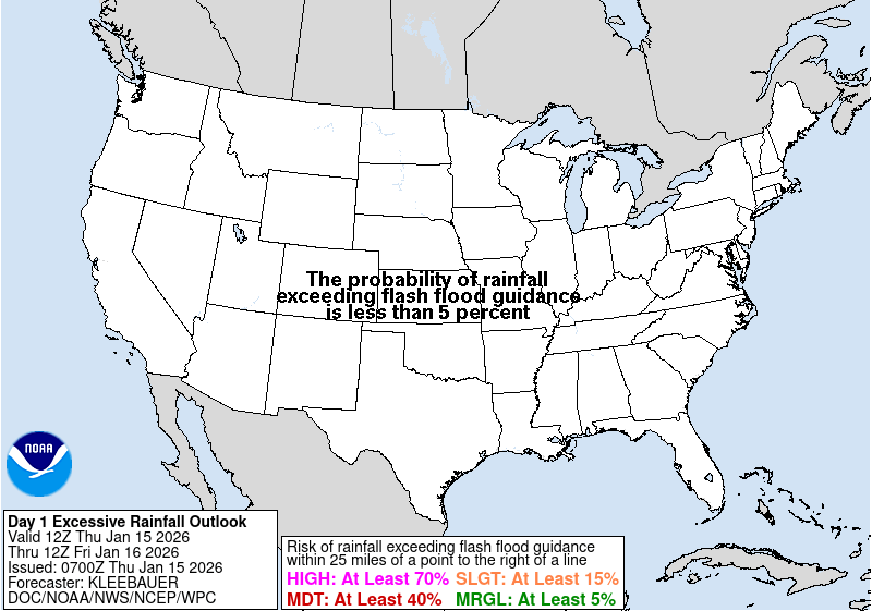
Excessive Rainfall — Coastal Mid-Atlantic SLIGHT RISK
A moisture-rich airmass parked over southeast Virginia and the southern Delmarva is set to get squeezed eastward this afternoon as an amplifying upper trough digs in, with rainfall rates that could top an inch an hour and totals over 2 inches in six hours. The silver lining: this rain falls south of the areas hit hardest by flash flooding earlier in the week, and the progressive nature of the storms should limit how long any one spot sits under the heaviest cells.
Dangerous Heat — South-Central U.S. & Desert Southwest MAJOR–EXTREME HEATRISK
Highs of 100 to 110 across the southern Plains and Southwest, heat indices running 105 to 115, and — the part that does the real damage — overnight lows staying warm enough that bodies never really get a break. WPC’s extended discussion has this heat dome anchored and essentially stationary over the Southwest and south-central states all next week, with little sign of the pattern breaking. Check on neighbors without reliable air conditioning.

The Tropics — Three Basins NHC / CPHC
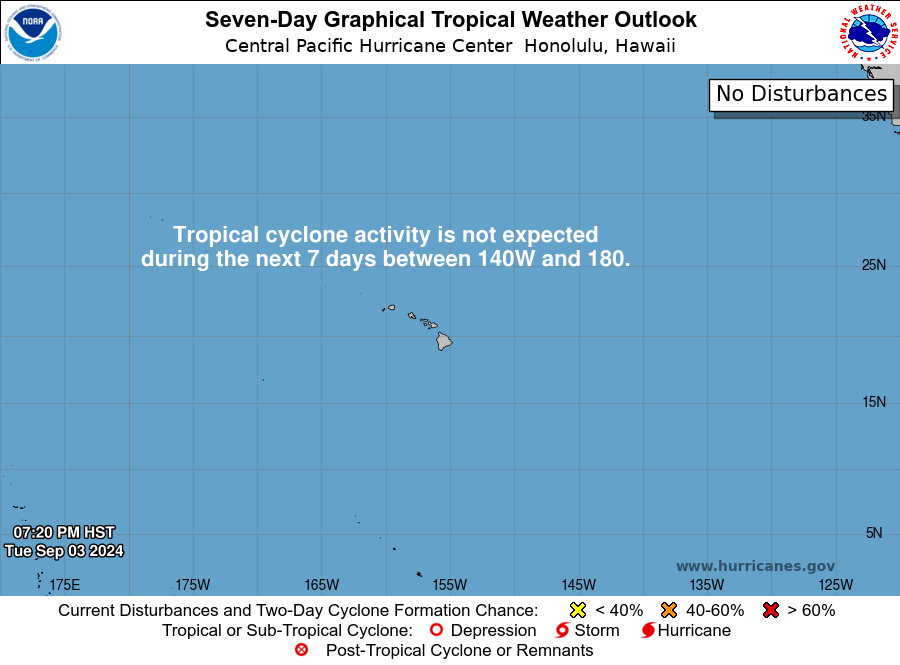
Central Pacific: Two Storms, Opposite Directions
Covered above — Moke closing in, Lala pulling away. No new development is expected in the basin behind them over the next seven days.
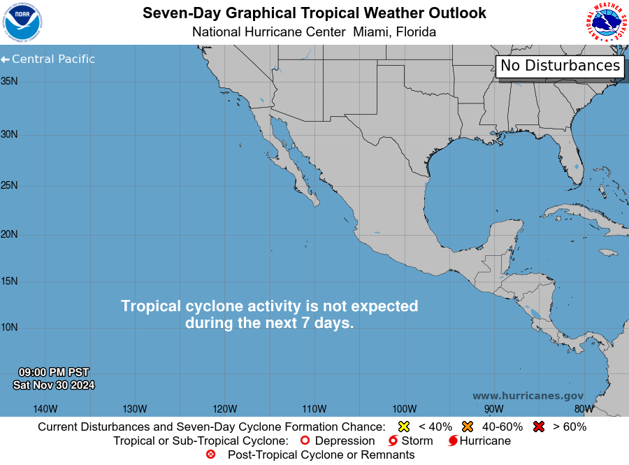
East Pacific: Two Systems Racing to Merge
Southwest of Mexico, forecasters are watching two separate disturbances — one with an 80 percent chance of developing within a week, the other close behind at 50 percent — that are both expected to merge into a single system by late Sunday before either one really organizes. A third area, well south of the Baja Peninsula, could get going by the middle of next week. None of these is forecast to threaten land in the near term, but it’s a notably active stretch for this basin.
Atlantic: Three Weak Signals, No Urgency
The Atlantic isn’t silent today, but it isn’t loud either. A non-tropical low well west of Portugal has a modest shot — 20 percent — at picking up some tropical characteristics before it runs out of room by Sunday night. A trough near Bermuda and a tropical wave still crossing Africa carry similarly low odds. None of the three is expected to threaten the U.S. mainland or Caribbean in the coming week.

The Inside what the discussions actually say
The reasoning behind the forecast, pulled from the technical discussions forecasters write for each other.
A storm doesn’t get a name lightly. Until Friday night, the system now threatening the Big Island was just “Two-C” — an invest designation, not a name. Getting promoted to Tropical Storm Moke at advisory number 8 means forecasters became confident enough in a closed, organized circulation to treat it as a true tropical cyclone rather than a disorganized area of low pressure. That’s not just paperwork: named storms get dedicated advisories every six hours, and forecast confidence — and public attention — both step up a level the moment the name changes.
No watches yet doesn’t mean no worry yet. Moke carries no coastal watches or warnings this morning, which can read as reassuring — but the “life-threatening flooding and mudslides” language in the same advisory is doing the real work. Watches and warnings key off wind thresholds and a confirmed track; rainfall threats like Moke’s get flagged in the hazards section well before a watch is technically justified, because heavy tropical rain doesn’t wait for a storm to make landfall to cause damage.
The forecasters picked a side on the rain totals. WPC’s own discussion admits the larger-scale global models have been trending drier over the coastal Mid-Atlantic — but forecasters chose to lean on higher-resolution ensemble guidance and machine-learning tools instead, both of which keep the heavier rain totals on the table. When forecasters explicitly say which guidance they’re trusting and which they’re overriding, that’s usually a sign confidence is genuinely split, not settled.
The heat dome isn’t just sitting there — it’s why nights aren’t cooling off. A strong upper-level high anchored over the Southwest and east-central U.S. actually suppresses cloud cover through sinking air, which would normally favor good overnight cooling. The problem is humidity: the same muggy airmass built up under the ridge holds enough water vapor to trap outgoing heat much the way a cloud deck would, even under a clear sky. That’s the mechanism behind the record-warm overnight lows WPC keeps flagging — it isn’t a separate problem from the daytime heat, it’s the same airmass denying the ground its usual nighttime radiational cooling.
Lightning without rain is the real fire threat. Northern Washington and the Idaho Panhandle carry a “critical fire weather” tag today for a reason that has little to do with wind: forecasters describe moist air near the ground but bone-dry air higher up. Storms that form in that setup can produce plenty of lightning while the rain evaporates before it ever reaches the ground — a dry thunderstorm, and the single most efficient way nature starts a wildfire.
Looking Ahead CPC · current issuance
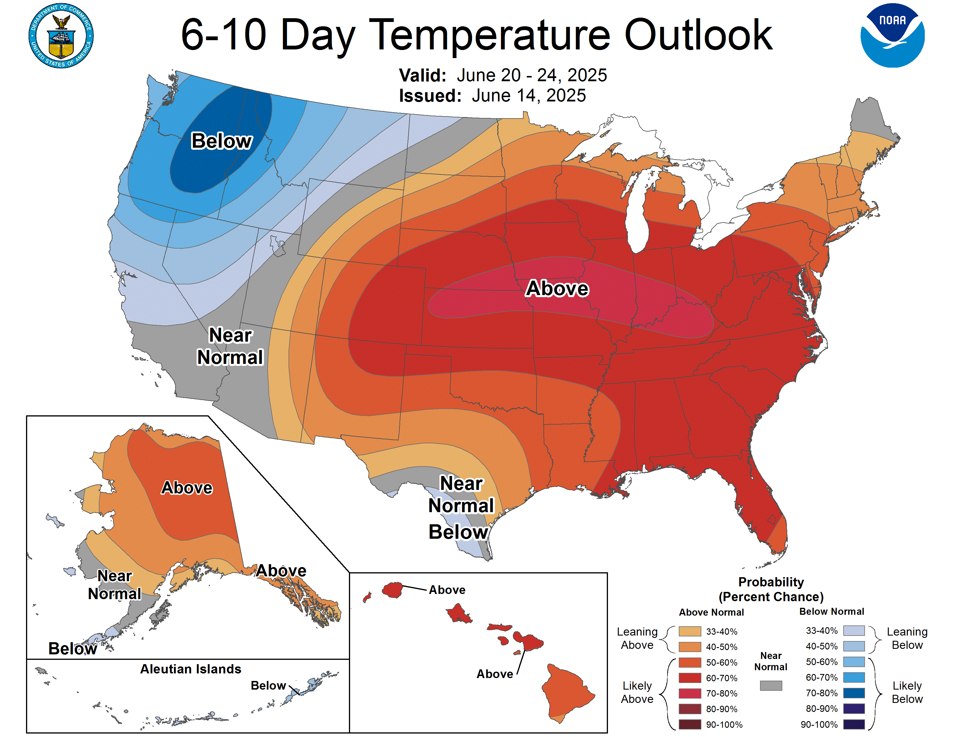
CPC’s outlook keeps the ridge in the driver’s seat: above-normal temperatures are favored across nearly the entire Lower 48 for the 6-10 and 8-14 day periods, with the strongest confidence — 80 to 90 percent — over the Four Corners region and 70 to 80 percent over central and southern Florida. The one exception is the Pacific Northwest and northern California, where an approaching trough favors near-to-below-normal temperatures, plus the Upper Great Lakes, where model disagreement keeps confidence lower. In short: if you’re hoping the heat breaks nationally in the next two weeks, this outlook doesn’t see it happening.
Also Watching
- Fire Weather: Today’s national fire map isn’t quiet — critical fire weather is flagged for northern Washington, the far northern Idaho Panhandle, south-central/southeast Washington and north-central Oregon, plus a separate area covering northeast California, northwest Nevada, and south-central/southeast Oregon, where dry thunderstorms and gusty downslope winds off the Cascades and Sierra combine with very receptive fuels. See The Inside for why the lightning risk matters more than the wind today. SPC Fire Wx
- Space Weather: Solar activity is low but not zero — a chance of M-class flares and a slight chance of an X-flare over the next three days from an active but unremarkable sunspot region, plus elevated high-energy electron flux and a small chance of minor radiation-storm levels. No aurora storyline today; the geomagnetic field itself is expected to stay quiet. SWPC
- Marine: Two complex low-pressure systems well out in the North Atlantic, roughly 55N to 66N, are generating Gale Warnings — winds to 35 knots and seas to 16 feet — far from shipping lanes near the U.S. coast, but worth knowing about if you operate offshore up there. OPC High Seas
- Drought Monitor: Weekly product; the next national update lands Thursday, August 27 — featured here every Thursday edition.
Look Up Tonight
One Cool Thing
Two separate, unrelated storms are about to become one. Southwest of Mexico, forecasters are watching two distinct disturbances forecast to merge into a single system by Sunday night — before either one even organizes into a depression. It’s a reminder that tropical development isn’t always a single low-pressure system spinning up in place; sometimes it’s two weaker ones colliding and combining their energy, a process closer to how thunderstorm clusters merge into a larger storm than most people picture when they think “hurricane forms.”
Shareables
For Newsrooms & Reporters
Need a Meteorologist On Air or On the Record Today?
Bob Cox — veteran broadcast meteorologist heard mornings on WTIC NewsTalk 1080 (Hartford) and forensic meteorologist with 30+ years analyzing high-impact weather — tracks these stories in real time and is available for interviews and expert comment: radio, TV, print, podcast, fast turnaround.
Today’s interview-ready angles: Moke’s overnight upgrade and the Big Island flood threat with no watches yet · Lala’s exit and the surf hazard for the Northwestern Hawaiian Islands · the stalled southern heat dome and why nights aren’t cooling off · Ohio Valley severe storms and coastal Mid-Atlantic flash-flood risk.
BOOKING: kaitlin@coxweatherservices.com · 888-248-9347 · coxweatherservices.com · attribution: “Bob Cox, meteorologist, Cox Weather Services”
Source Ledger every claim, timed & sourced
Every forecast in this issue traces back to a named NWS/NOAA product below. Status shows how fresh each source was at publication.
| Product | Issued | Status |
|---|---|---|
| WPC Short-Range Forecast Discussion | 1:19 AM EDT today | CURRENT |
| WPC Extended (Day 3–7) Discussion | 2:36 AM EDT today | CURRENT |
| WPC Excessive Rainfall Discussion | 4:31 AM EDT today | CURRENT |
| SPC Day 1 Convective Outlook | 8:02 AM EDT today | CURRENT |
| SPC Day 2 Convective Outlook | 1:57 AM EDT today | CURRENT |
| SPC Day 3 Convective Outlook | 2:51 AM EDT today | CURRENT |
| SPC Day 1–2 Fire Weather Outlooks | 3:00–3:01 AM EDT today | CURRENT |
| NHC Atlantic Tropical Weather Outlook | 8:00 AM EDT today | CURRENT |
| NHC East Pacific Tropical Weather Outlook | 8:00 AM EDT today | CURRENT |
| CPHC Central Pacific Tropical Weather Outlook | 8:00 AM EDT today | CURRENT |
| Hurricane Lala Advisory No. 40 | 5:00 AM EDT today | CURRENT |
| Tropical Storm Moke Advisory No. 8 | 5:00 AM EDT today | CURRENT |
| CPC 6-10 / 8-14 Day Prognostic Discussion | 3:00 PM EDT yesterday | CURRENT ISSUANCE · daily product; next ~3–4 PM today |
| SWPC Space Weather Forecast Discussion | 8:30 AM EDT today | CURRENT |
| OPC High Seas Forecast (N. Atlantic) | 6:30 AM EDT today | CURRENT |
| US Drought Monitor National Summary | Released Thu Aug 20 | CURRENT ISSUANCE · weekly product; next update Thu Aug 27 |