
The Inside on the Outside
The Big Picture WPC
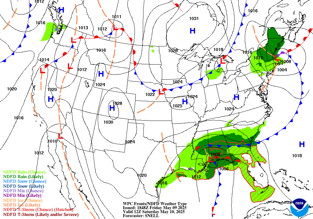
Three storylines share the map today. In the Central Pacific, a much-weakened Tropical Depression Moke is sliding past the Big Island of Hawaii tonight — its winds barely qualify as tropical, but its rain doesn’t care, and it’s falling on ground that’s still full from Lala two weeks ago. Across the South-Central states and Southwest, a heat dome that won’t quit keeps setting overnight records, not just daytime ones. And a broad band of scattered severe storms and localized flash flooding stretches from the Dakotas to the Carolinas to the Gulf Coast today, none of it dramatic on its own, all of it adding up to a busy map. The through-line: this week’s real hazards are the quiet ones — heat that doesn’t break at night, rain from a storm too weak to earn a warning.
Lead Story: Moke Closes In on Hawaii CPHC/NHC Advisory 16
Tropical Depression Moke — Passing the Big Island Tonight LIFE-THREATENING FLOODING
Moke has weakened to a 35 mph tropical depression, and its low-level center is showing up on satellite as “exposed” — forecaster shorthand for a storm whose engine is sputtering, with only small, intermittent bursts of convection left on its north side. That’s the good news. The bad news is the storm doesn’t need to be strong to be dangerous here: it’s tracking to pass southwest of the Big Island overnight and well south of the main islands Monday, and it’s still forecast to wring out 3 to 6 inches of rain — locally more — across the Big Island and eastern Maui. That rain is falling on terrain already saturated by Lala’s deluge two weeks ago, which is why forecasters are using the same “life-threatening flooding and mudslides” language for a 35 mph depression that they’d use for a much stronger storm. There are no coastal watches or warnings in effect — Moke’s winds simply aren’t strong enough to trigger one — but the flood threat doesn’t check the same box the wind does. Forecasters expect Moke to degenerate to a remnant low late Monday and dissipate by Tuesday.

Trouble Spots
Dangerous, Record-Breaking Heat — South-Central U.S. to the Southwest MAJOR–EXTREME HEATRISK
A strong ridge anchored over the Southwest and south-central states keeps daytime highs at 100–110°F across the southern Plains and Lower Mississippi Valley this week, climbing to as high as 115°F in the Southwest by midweek. The more dangerous number is the overnight low: WPC’s discussion flags dozens of daily records falling through the week, and many of them will be record-warm lows, not highs — nights that stay too warm for the body to recover before the next day’s heat begins. That combination is what’s driving widespread Major to Extreme HeatRisk. Check on neighbors and family without reliable air conditioning.
Scattered Severe Storms — Dakotas to the Gulf & Carolina Coasts SLIGHT RISK 2/5
Four separate pockets today, none huge, all worth watching. A shortwave dropping into the Dakotas and northwest Minnesota can produce supercells with large hail and damaging winds by evening, with enough low-level turning near the international border for an isolated tornado. The central High Plains — Black Hills into western Nebraska — sees a similar setup: initial hail-producing supercells clustering into a wind threat after dark. Along the middle Gulf Coast and lower Mississippi Valley, overnight convection over the Ozarks is expected to grow upscale and drift south-southeast, with damaging-wind potential increasing toward the coast. And the coastal Carolinas get a round of hail-capable storms in a moist, unstable coastal-plain airmass, with the threat waning by sunset.
Flash Flooding — Gulf Coast & the Southwest/High Plains SLIGHT RISK
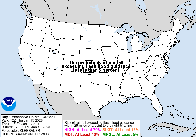
Southeastern Louisiana into southern Alabama carries today’s sharpest flood risk: precipitable water values over 2.25 inches feeding storms that reintensify this afternoon, with both major flash-flood guidance models putting roughly a 30 percent chance of amounts topping 3-hour flash-flood guidance in the late afternoon and evening — urbanized and poor-drainage areas are the most exposed. A broader Marginal Risk continues across the Southwest into the Great Basin and central Rockies/High Plains, where monsoon-fueled storms have been a near-daily feature.

The Tropics — Three Basins NHC/CPHC outlooks
Central Pacific: Moke Departs, But Hawaii Isn’t Off the Hook
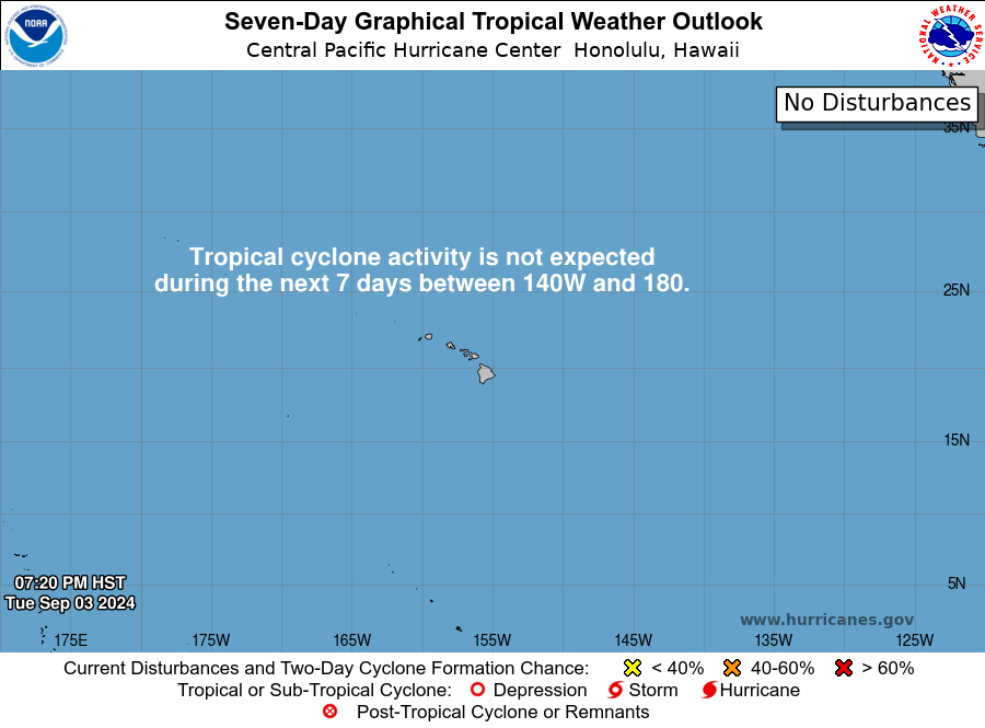
Moke leads (see above). Farther east, Tropical Storm Lala — the storm that soaked Hawaii two weeks ago — is still spinning well north of the islands near 33°N, 175°W, moving slowly north-northwest over cool water with winds holding near 65 mph and only gradual weakening expected; no coastal watches or warnings, and no threat to land. More notable for the islands: CPHC is watching a broad area of low pressure forecast to form southeast of Hawaii by midweek, with a low but non-trivial 20 percent chance of development within 7 days. If it organizes, it would be the third tropical system to affect the islands in under a month.
East Pacific: Iselle Strengthening, a Crowded Field Behind It
Tropical Storm Iselle is intensifying — winds near 60 mph and climbing, with forecasters giving it a real shot at a short-lived hurricane tonight before weakening resumes Tuesday. It’s moving northwest, away from Baja California, but swells are already generating life-threatening surf and rip currents along the peninsula’s west coast. Behind it, a broad low well southwest of Baja (EP91) has even odds of a short-lived depression before being absorbed by Iselle, and forecasters are tracking two more areas of interest for later this week — one with an 80 percent chance of development within 7 days well south of Baja, underscoring how active this basin has become.
Atlantic: Two Areas to Watch, Nothing Imminent
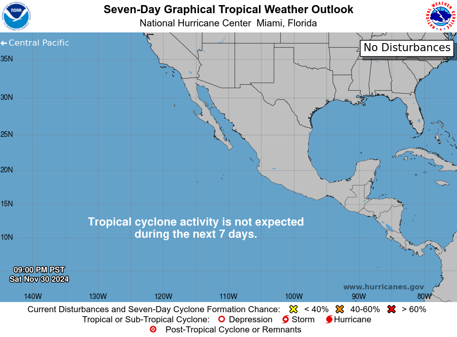
The basin isn’t silent, but it isn’t loud either. A low-pressure area a few hundred miles southeast of Bermuda (AL95) has even (50 percent) odds of becoming a short-lived depression or storm in the next two to seven days as it tracks north, well clear of land. A tropical wave is also expected to move off the West African coast today, with development odds building to 50 percent by day 7 as it crosses the tropical Atlantic. Nothing here is an immediate concern, but both bear watching as the calendar pushes toward the September 10 climatological peak.

The Inside what the discussions actually say
The reasoning behind the forecast, pulled from the technical discussions forecasters write for each other.
A tropical depression with no watches — and a flood emergency’s worth of language. Moke’s winds top out at 35 mph, well under the 39 mph threshold that triggers a tropical storm watch or warning. So officially, there’s nothing posted for the Big Island tonight. But the discussion still calls the rain threat life-threatening. That’s not a contradiction — it’s a gap in the system. Watches and warnings in the tropics are built around wind. Moke’s actual hazard is rain falling on ground that never dried out from Lala. Forecasters have to write around that gap by putting the real warning in plain English, since the official product suite doesn’t have a flag for “weak storm, dangerous rain.”
“Exposed” is a word about the storm’s skeleton, not its punch. Moke’s forecast discussion describes its low-level center as exposed on satellite, with only small, intermittent bursts of convection. That means the thunderstorm engine that would normally wrap around the center has been sheared away or displaced — the storm is structurally falling apart. It’s also exactly why the wind forecast keeps dropping while the rain forecast doesn’t: the broader moisture envelope around a dying tropical system can keep producing heavy rain over terrain long after the storm itself has lost its engine.
HeatRisk is about the low, not just the high. WPC’s discussion leans hard on “record-breaking warm overnight temperatures” as the driver behind widespread Major to Extreme HeatRisk this week — not just the 100s and 110s in the afternoon. The body needs a real overnight drop to recover from daytime heat stress; when the low itself is setting a warmth record, that recovery window shrinks or disappears. That’s the mechanism behind heat becoming more dangerous the longer a wave like this one drags on, even if the daytime numbers stop climbing.
Dry lightning without a drop of rain. SPC’s fire weather discussion flags “inverted-V profiles” over the northern Great Basin — a deeply mixed desert boundary layer where thunderstorm bases sit so high that most of the rain evaporates before reaching the ground, but the lightning still does. It’s a classic wildfire-ignition setup, and it’s why today’s fire map can say “no critical areas” while still carrying real ignition risk in the Intermountain West.
Looking Ahead CPC · current issuance
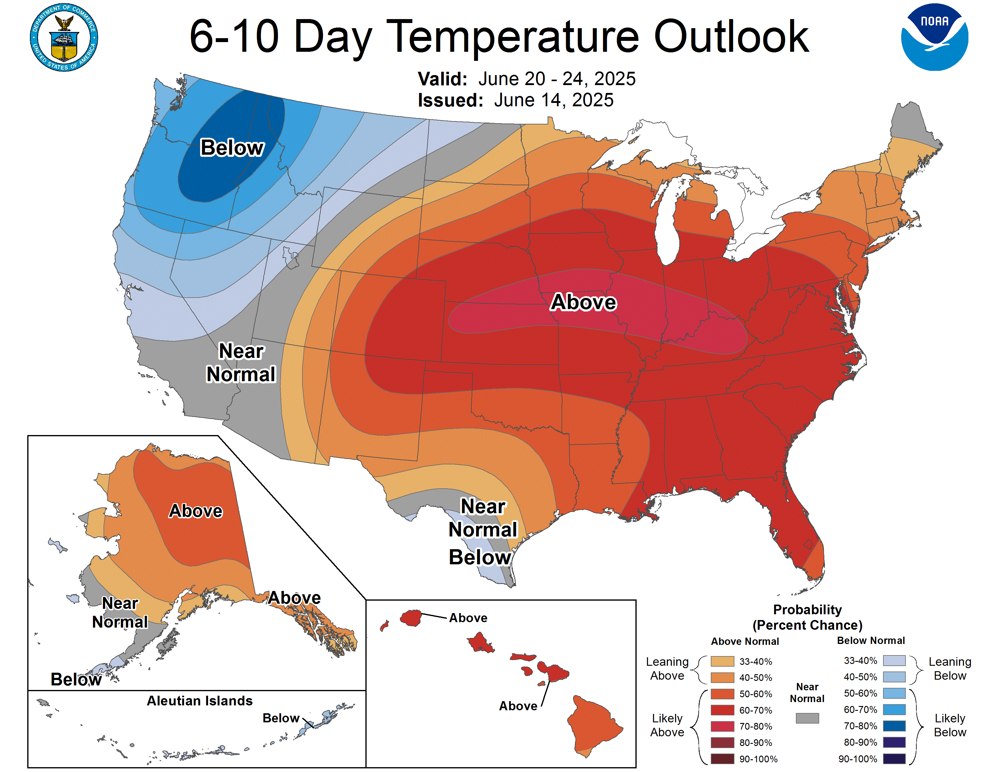
For August 29–September 2: above-normal temperatures are favored across most of the CONUS, with the strongest signal — better than 80 percent confidence, CPC’s highest tier — over the southern High Plains and adjacent Southwest, right under the anomalous ridge. The Pacific Northwest and adjacent northern California tilt slightly cool as a Pacific trough digs in, while the Great Lakes, Northeast, and northern Ohio Valley sit closer to normal. On precipitation, expect a dry bias from the southern Plains to the southern Rockies and Southwest under that same ridge, while the Pacific Northwest, northern Rockies, and the Eastern Seaboard (thanks to a persistent Northeast trough and a frontal boundary parked along the East Coast) lean wetter than normal.
Also Watching
- Marine: Gale Warnings are up for two North Atlantic low-pressure systems well offshore, with winds to 40 knots, seas to 5 meters, and patches of dense fog reducing visibility to under a mile in spots — a shipping-lanes story, no coastal impact expected. OPC
- Fire Weather: No critical areas today, but Tuesday brings elevated conditions to northeastern California, northern Nevada, and southern Oregon as dry, breezy southwesterly winds arrive over 90th–95th percentile dry fuels — the same dry-thunderstorm ignition risk flagged in The Inside. SPC Fire Wx
- Space Weather: Quiet across the board — low-level solar activity, background solar wind, and a quiet geomagnetic field expected to persist through Wednesday. No aurora chances in the forecast. SWPC
- Drought Monitor: Weekly product; most recent map valid August 18 (released August 20), next update Thursday, August 27 — featured here every Thursday edition.
Look Up Tonight
Waxing Gibbous, about 88 percent illuminated — high in the southern sky after sunset and visible most of the night. Mark your calendar for Thursday: the full “Sturgeon Moon” arrives August 27–28 alongside a partial lunar eclipse, with up to 96 percent of the lunar disk sliding into Earth’s shadow. It’s visible across North and South America, and worth planning around if you like a red-tinted moon.
One Cool Thing
Moke’s winds — 35 mph at last check — are barely stronger than a stiff highway crosswind. Its rainfall forecast is measured in feet-adjacent numbers: 3 to 6 inches, locally more. The gap between those two numbers is orographic enhancement, Hawaii’s signature weather trick: moist tropical air runs into the Big Island’s volcanic slopes, is forced upward, and wrings itself out at rates flatland storms can’t touch. It’s the same mechanism that let Lala dump 33 inches in two days on that same terrain two weeks ago — a wind speed tells you almost nothing about a Hawaiian storm’s flood potential.
Shareables
Source Ledger every claim, timed & sourced
Every forecast in this issue traces back to a named NWS/NOAA product below. Status shows how fresh each source was at publication.
| Product | Issued | Status |
|---|---|---|
| WPC Short-Range Forecast Discussion | 2:20 AM EDT Mon Aug 24 | CURRENT |
| WPC Extended (Day 3–7) Forecast Discussion | 3:28 AM EDT Mon Aug 24 | CURRENT |
| WPC Excessive Rainfall Discussion | 4:17 AM EDT Mon Aug 24 | CURRENT |
| SPC Day 1 / Day 2 / Day 3 Convective Outlooks | 1:59 AM / 1:00 AM / 2:29 AM CDT Mon Aug 24 | CURRENT |
| SPC Day 1–2 Fire Weather Outlooks | 1:57 AM / 1:59 AM CDT Mon Aug 24 | CURRENT |
| NHC Atlantic Tropical Weather Outlook | 2:00 AM EDT Mon Aug 24 | CURRENT |
| NHC East Pacific Tropical Weather Outlook | 11:00 PM PDT Sun Aug 23 | CURRENT |
| CPHC Central Pacific Tropical Weather Outlook | 8:00 PM HST Sun Aug 23 | CURRENT |
| NHC/CPHC Tropical Storm Iselle Advisory No. 4 | 2:00 AM PDT Mon Aug 24 | CURRENT |
| NHC/CPHC Tropical Storm Lala Advisory No. 48 | 11:00 PM HST Sun Aug 23 | CURRENT |
| NHC/CPHC Tropical Depression Moke Advisory No. 16 | 11:00 PM HST Sun Aug 23 | CURRENT |
| CPC 6-10 / 8-14 Day Prognostic Discussion | 3:00 PM EDT Sun Aug 23 | CURRENT ISSUANCE · daily product; next ~3 PM today |
| SWPC Space Weather Forecast Discussion | 8:30 PM EDT Sun Aug 23 (0030 UTC) | CURRENT |
| OPC High Seas Forecast (N Atlantic) | 6:30 AM EDT Mon Aug 24 | CURRENT |
| US Drought Monitor National Summary | Valid Aug 18 (released Aug 20) | CURRENT ISSUANCE · weekly product; next update Thu Aug 27 |
For Newsrooms & Reporters
Need a Meteorologist On Air or On the Record Today?
Bob Cox — veteran broadcast meteorologist heard mornings on WTIC NewsTalk 1080 (Hartford) and forensic meteorologist with 30+ years analyzing high-impact weather — tracks these stories in real time and is available for interviews and expert comment: radio, TV, print, podcast, fast turnaround.
Today’s interview-ready angles: Hawaii’s third tropical system in under a month, and why a 35 mph depression still carries a life-threatening flood warning · the South-Central/Southwest heat wave’s record-warm overnight lows and why they’re more dangerous than the daytime highs · today’s scattered severe weather risk from the Dakotas to the Carolinas · the Gulf Coast flash-flood threat from southeastern Louisiana to southern Alabama.
BOOKING: kaitlin@coxweatherservices.com · 888-248-9347 · coxweatherservices.com · attribution: “Bob Cox, meteorologist, Cox Weather Services”