
The Inside on the Outside
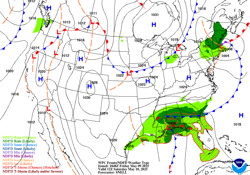
The Big Picture WPC
Today’s map is the calm before next week’s real story. A Slight Risk of severe thunderstorms — mainly damaging gusts, with some large hail where cells cluster — stretches from eastern Nevada across northern Utah into southwest Wyoming, while monsoon moisture keeps a Slight Risk for excessive rainfall parked over central and southern Arizona. Neither reaches the Moderate or Enhanced thresholds that would make it the day’s lead. The bigger flag is what WPC’s own extended discussion is already sounding: a sprawling upper ridge takes over the central and eastern U.S. by Tuesday, and “dangerous heat” — their phrase — expands from the central and southern Plains all the way to the Mid-Atlantic and Southeast, with overnight lows stuck in the 70s to near 80 that deny any real recovery after dark. In the Pacific, two tropical storms, Karina and Lowell, are both forecast to strengthen substantially in the days ahead, though neither currently threatens land.
Storm Reports Recap SPC · previous 24 hours
Every forecast in this issue traces back to a named NWS/NOAA product below. Status shows how fresh each source was at publication.
A quiet 24 hours by convective standards. SPC’s preliminary storm reports for the window ending 6:00 AM EDT this morning show zero tornado reports nationwide, one hail report, and 58 wind reports scattered from the Carolinas to Utah and Nebraska — almost entirely tree-and-power-line damage from ordinary thunderstorm outflow, not organized severe weather. The lone injury tag: a tree and power lines fell onto a truck in Wadesboro, North Carolina, trapping the driver, who was taken to the hospital with non-life-threatening injuries. The peak measured gust was 79 mph at a mesonet station near Santaquin, Utah, part of a cluster of 60-plus mph gusts running from the Wasatch Front to central Nebraska as evening storms raced east. These are preliminary, unsurveyed reports — NCEI’s official Storm Data publication, issued weeks to months later, is the eventual record of truth, and today’s tally will very likely change as duplicate or erroneous reports are filtered out and late reports come in.

Trouble Spots
Severe Storms — E. Nevada, Northern Utah, SW Wyoming SLIGHT RISK 2/5
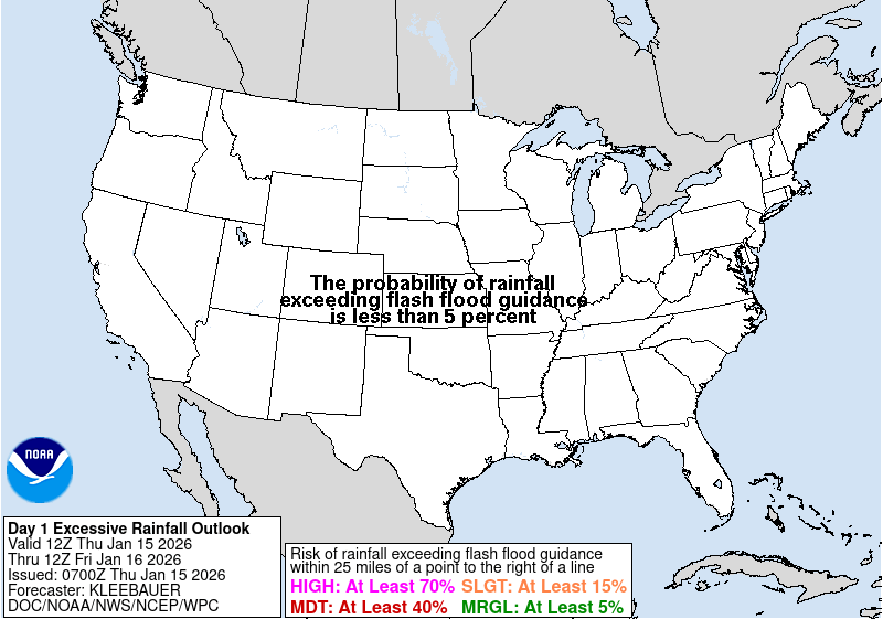
Widely scattered strong-to-severe storms are expected today across the northern Great Basin and northern/central Rockies, with damaging wind gusts the main threat and some large hail possible where cells organize into clusters. An upper low over the Pacific Northwest is merging with a broader southern-stream trough, pulling in tropical moisture and enough shear for a few transient supercell structures. Isolated severe storms are also possible farther east across the northern Plains, mainly large hail and damaging gusts.
Excessive Rainfall — Central & Southern Arizona SLIGHT RISK 2/4
Monsoon moisture is running deep — precipitable water near 1.5 to 1.75 inches — and WPC’s flash-flood desk is watching for locally heavy downpours, with a 20 to 30 percent chance of exceeding 3-hour flash flood guidance in central Arizona and 40 to 60 percent across Tucson’s forecast area. A broader Marginal Risk covers the Great Basin and Rockies from Nevada and New Mexico into the Colorado Front Range, where slow-moving monsoon storms threaten the same terrain, urban areas, and burn scars most prone to flash flooding.

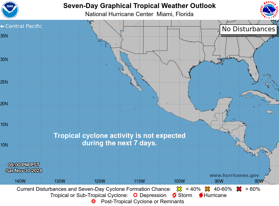
The Tropics — Three Basins NHC/CPHC outlooks
Atlantic: Quiet, Appropriately So
Two low-probability players are all that’s moving. The tattered remnants of Tropical Storm Dolly, several hundred miles east of the Leeward Islands, get just a 10 percent chance of redeveloping in the next week as they slide west near 25 mph — though the wave itself could still bring locally heavy rain and gusty wind to the Leewards, the Virgin Islands, and Puerto Rico over the next several days. A weak, nearly stationary area of low pressure in the northeastern Gulf of America carries the same long-odds 10 percent.
East Pacific: The Busy Basin TWO STORMS INTENSIFYING
Karina, well southwest of the tip of Baja California, is forecast to become a hurricane later today and a major hurricane early next week as it tracks northwest — no coastal watches or warnings yet, just building swells that will bring life-threatening surf and rip currents to southwest Mexico and the Baja Peninsula this weekend. Lowell, far to the west and holding near 45 mph, is expected to strengthen more gradually and could reach hurricane strength by Monday as it turns westward, away from any land. A third system — disturbed weather well south of southwestern Mexico — carries NHC’s highest confidence of the day: an 80 percent chance of becoming a tropical depression within the week as it drifts northwest at 10 to 15 mph.
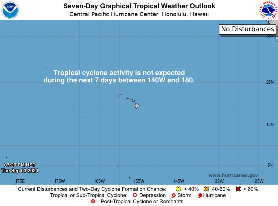
Central Pacific: Quiet, But Not for Long
Forecasters give a 40 percent chance that a broad area of low pressure well south or southwest of Hawaii organizes into a tropical depression by the middle of next week. Lowell itself, still technically in the National Hurricane Center’s area of responsibility east of 140°W, may cross into the Central Pacific’s watch area if it keeps strengthening on its current westward track.

The Inside what the discussions actually say
The reasoning behind the forecast, pulled from the technical discussions forecasters write for each other.
“Dangerous heat” is WPC’s own word choice, and it’s not casual. When the extended discussion reaches for that phrase five-plus days out, it’s flagging HeatRisk categories running Major to Extreme — the tier where the general population, not just vulnerable groups, faces elevated risk. What makes this one worth watching early: overnight lows are forecast in the 70s to near 80 across a wide swath from the Plains to the Southeast, which means bodies never get the nighttime recovery that keeps a heat wave from turning dangerous.
Why a “Slight Risk” thunderstorm day still produces a 79 mph gust. Today’s severe outlook over Utah and Nevada is only a level 2 of 5, but the setup — a well-mixed boundary layer under strong, mostly unidirectional shear — favors organized clusters that can locally punch out gusts matching what a higher-category day produces elsewhere. Category tells you how likely damage is across the whole outlook area; it doesn’t cap how strong any single gust can get.
Karina’s road to major hurricane, in forecaster language. NHC’s discussion leans on intensity models that agree Karina sits in a low-shear, warm-water pocket for the next several days — exactly the ingredients that let a 65 mph tropical storm reach 100-plus knot winds by day four. The cone doesn’t currently threaten land, but a system intensifying that fast is one forecasters watch closely for any late westward wobble.
Two storms, one basin, opposite paths. Karina and Lowell sit in the same ocean under very different intensification forecasts — a reminder that “the tropics are active” doesn’t mean every storm behaves the same way, even side by side in the same basin at the same time.
Storm reports without a storm. The 58 wind reports in today’s Storm Reports Recap didn’t come from one headline-grabbing outbreak — they’re the accumulated output of ordinary, scattered thunderstorm activity across a half-dozen states, mostly outflow gusts toppling trees already stressed by earlier rain. It’s a good illustration of why forecasters distinguish “numerous reports” from “significant severe weather”: quantity and organization aren’t the same thing.
Looking Ahead CPC · current issuance
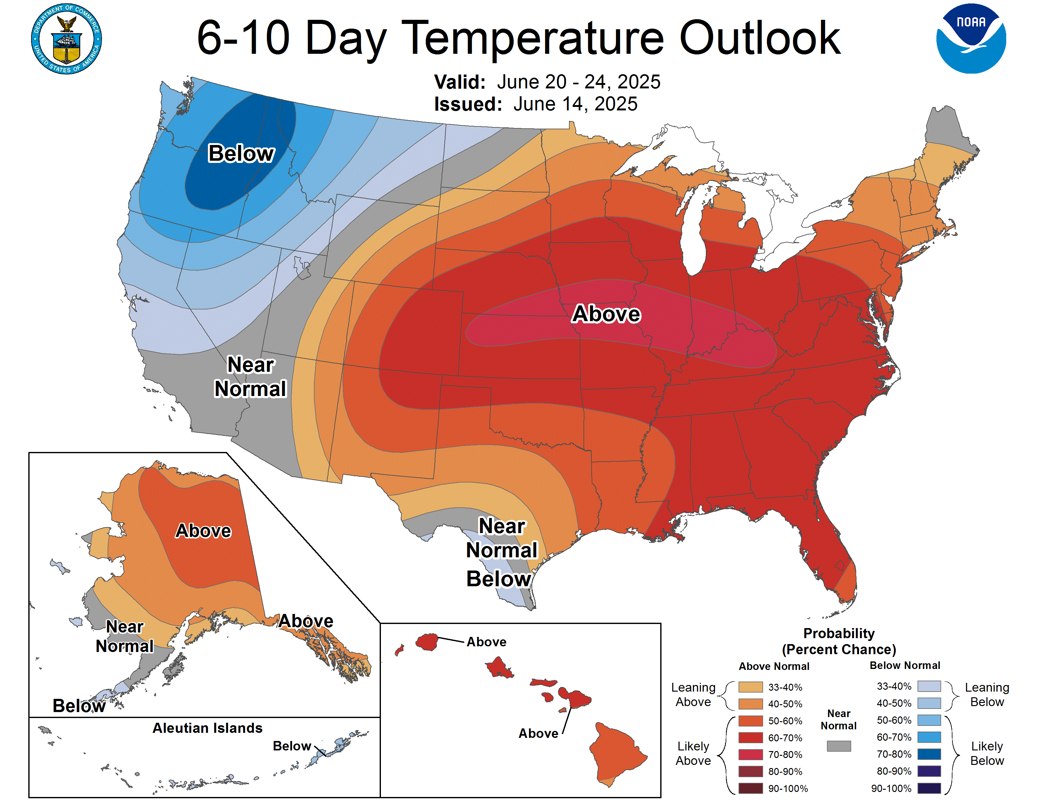
CPC’s 6-10 day outlook (valid September 3-7) leans warm almost everywhere the models agree on anything, with the strongest signal — 80 to 90 percent odds — over the south-central U.S., tied to the same mid-level ridge that’s about to deliver next week’s heat. The Pacific Northwest bucks the trend, with elevated odds of below-normal temperatures and above-normal precipitation as a strong Pacific storm and possible atmospheric river arrive Tuesday night into Wednesday. The northern Plains, Upper Midwest, Great Lakes, and Northeast carry a modest wet signal from disturbances riding the ridge’s northern flank, while the southern Plains lean dry, with rainfall deficits already running 2-plus inches over the past month.
Also Watching
- Aurora Watch: SWPC calls for periods of G1-G2 (Minor-Moderate) geomagnetic storming today as a positive-polarity coronal hole stream combines with CMEs that left the Sun August 25-26; active conditions continue into Sunday before quieting Monday. Tonight’s near-full moon (see Look Up Tonight) will make any glow harder to spot. SWPC
- Fire Weather: Elevated conditions today across the southern High Plains into south-central Kansas and separately from southeast Oregon into northeast California and northwest Nevada, where 15-20 mph winds and 15-25 percent humidity meet drought-stressed fuels. Sunday’s Day 2 outlook keeps the southern High Plains/southwest Kansas zone elevated as the same surface trough persists. SPC Fire Wx
- Drought Monitor: Latest map valid August 25, 2026 (released Thursday, August 27) — next update Thursday, September 3, featured here that edition.
Look Up Tonight
Full moon tonight, about 98 percent illuminated — near-peak brightness that will wash out all but the brightest stars and make tonight’s outside chance of northern lights (see Also Watching) a tougher spot even where skies stay clear.
One Cool Thing
Tonight’s full moon and today’s geomagnetic storm chances are scheduled for the same night by pure coincidence — and moonlight will win. A full moon overhead washes out faint aurora glow the same way city lights wash out the Milky Way: the light source doesn’t have to be bright to compete, it just has to be closer and more constant than what you’re trying to see.
Shareables
For Newsrooms & Reporters
Need a Meteorologist On Air or On the Record Today?
Bob Cox — veteran broadcast meteorologist heard mornings on WTIC NewsTalk 1080 (Hartford) and forensic meteorologist with 30+ years analyzing high-impact weather — tracks these stories in real time and is available for interviews and expert comment: radio, TV, print, podcast, fast turnaround.
Today’s interview-ready angles: Karina’s rapid intensification track toward major hurricane strength · the early warning on next week’s Plains-to-Southeast heat wave and what “dangerous heat” language signals · today’s Storm Reports Recap — 58 wind reports and zero tornadoes, reading storm data without the drama · Utah/Nevada’s Slight Risk severe setup and why category doesn’t cap gust strength.
BOOKING: kaitlin@coxweatherservices.com · 888-248-9347 · coxweatherservices.com · attribution: “Bob Cox, meteorologist, Cox Weather Services”
Source Ledger every claim, timed & sourced
Every forecast in this issue traces back to a named NWS/NOAA product below. Status shows how fresh each source was at publication.
| Product | Issued | Status |
|---|---|---|
| WPC Short-Range Forecast Discussion | 3:23 AM EDT Sat Aug 29 | CURRENT |
| WPC Extended (Day 3-7) Forecast Discussion | 2:02 AM EDT Sat Aug 29 | CURRENT |
| WPC Excessive Rainfall Discussion | 5:46 AM EDT Sat Aug 29 | CURRENT |
| SPC Day 1 / Day 2 / Day 3 Convective Outlooks | 1:54 / 1:59 / 3:22 AM EDT Sat | CURRENT |
| SPC Day 1-2 Fire Weather Outlooks | 1:15 / 1:16 AM EDT Sat Aug 29 | CURRENT |
| SPC Storm Reports (D-1 / D-2, filtered CSV) | 9:18 AM EDT Sat Aug 29 (fetch) | CURRENT |
| NHC Atlantic Tropical Weather Outlook | 2:00 AM EDT Sat Aug 29 | CURRENT |
| NHC East Pacific Tropical Weather Outlook | 2:00 AM EDT Sat Aug 29 | CURRENT |
| CPHC Central Pacific Tropical Weather Outlook | 2:00 AM EDT Sat Aug 29 | CURRENT |
| NHC Tropical Storm Karina Advisory No. 7 | 5:00 AM EDT Sat Aug 29 | CURRENT |
| NHC Tropical Storm Lowell Advisory No. 7 | 5:00 AM EDT Sat Aug 29 | CURRENT |
| CPC 6-10 / 8-14 Day Prognostic Discussion | 3:00 PM EDT Fri Aug 28 | CURRENT ISSUANCE · daily product; next ~3 PM today |
| SWPC Space Weather Forecast Discussion | 8:30 PM EDT Fri Aug 28 (0030 UTC) | CURRENT |
| OPC High Seas Forecast (N Atlantic) | 6:30 AM EDT Sat Aug 29 (1030 UTC) | CURRENT |
| US Drought Monitor National Summary + Map | Valid Aug 25 2026 (rel. Aug 27) | CURRENT ISSUANCE · weekly product; next Thu Sep 3 |